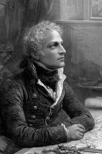
Biography
James Cook (1728-1779) was an officer of the British navy who commanded three expeditions in the Pacific Ocean between 1768 and 1779. He carried the map of that ocean from hypothesis to verifiable survey, fixing by measurement the outlines of New Zealand, the eastern coast of Australia and the southern limit of the ice. His logbooks stand both as navigational documents and as the first sustained European view of the societies of the Pacific.
Born on 27 October 1728 at Marton, in Yorkshire, he was the son of an agricultural labourer. Placed in 1746 with John Walker, a Quaker shipowner of Whitby, he learned his trade on the North Sea colliers, broad and sturdy vessels for which he would always keep a preference. He joined the Royal Navy in 1755 as an ordinary seaman and rose in it through technical competence: during the Seven Years' War he surveyed the channel of the St Lawrence that allowed the British fleet to sail up to Quebec in 1759, then he charted the coasts of Newfoundland from 1763 to 1767. An observation of a solar eclipse published in 1766 by the Royal Society, the British academy of sciences, brought him to the notice of its members.
The first voyage, from 1768 to 1771, was mounted jointly by the Admiralty and the Royal Society. Aboard the Endeavour, a former Whitby collier, Cook carried to Tahiti the astronomers charged with observing the passage of Venus across the Sun, on 3 June 1769, a measurement intended to calculate the distance from the Earth to the Sun. Secret instructions then ordered him to search for the southern continent. He sailed round New Zealand, establishing that it formed two islands, surveyed the east coast of Australia, struck a reef of the Great Barrier, and lost on the return voyage nearly a third of his crew to the dysentery contracted at Batavia.
The second voyage, from 1772 to 1775, in the Resolution accompanied by the Adventure, was to settle the question of the southern continent. Cook crossed the Antarctic Circle three times and reached on 30 January 1774 the latitude of 71 degrees 10 minutes south, the most southerly point gained by a ship until then. He came home without having found the habitable southern land that had been spoken of since antiquity. He had successfully tested the chronometer copied by Larcum Kendall from that of John Harrison, an instrument which gave longitude at sea at last, and a diet that greatly reduced scurvy. For this the Royal Society awarded him the Copley Medal in 1776.
The third voyage, begun in 1776 with the Resolution and the Discovery, had for its object the North West Passage approached from the Pacific. Cook sighted the Hawaiian Islands in January 1778, surveyed the north-west coast of America as far as Nootka Sound, passed the Bering Strait and was halted by the pack ice. Back in Hawaii, he was killed on 14 February 1779 in Kealakekua Bay, in the course of a quarrel arising from the theft of a ship's boat.
The publication of these voyages followed three different courses. The account of the first was entrusted to John Hawkesworth, who rewrote it in 1773 in a style criticised at the time; Cook himself wrote A Voyage towards the South Pole (1777); the third appeared in 1784, completed by James King. Translated into French from the 1770s onwards, these texts fed the European debate on so-called natural societies. It took the edition of John Cawte Beaglehole for the Hakluyt Society, from 1955 to 1967, for the manuscript journals themselves to become available, read today as much as sources for the history of the Pacific as monuments of cartography.
His books at Itinerarium
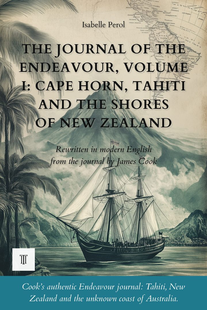
The Journal of the Endeavour, Volume I: Cape Horn, Tahiti and the Shores of New Zealand
270 pages - Modernized and illustrated English edition of “Captain Cook's Journal” (1768-1771), volume I, by James Cook.
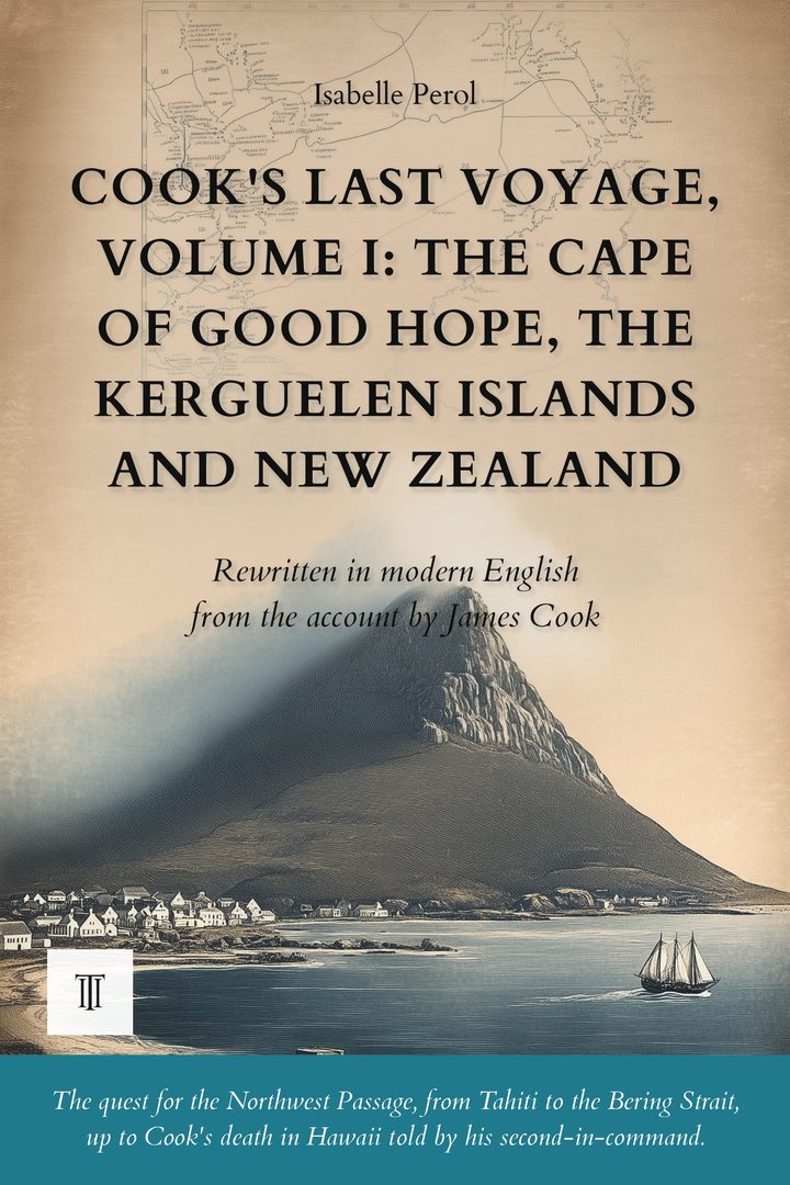
Cook's Last Voyage, Volume I: The Cape of Good Hope, the Kerguelen Islands and New Zealand
254 pages - Modernized and illustrated English edition of “A Voyage to the Pacific Ocean” (1776-1780), volume I, by James Cook.
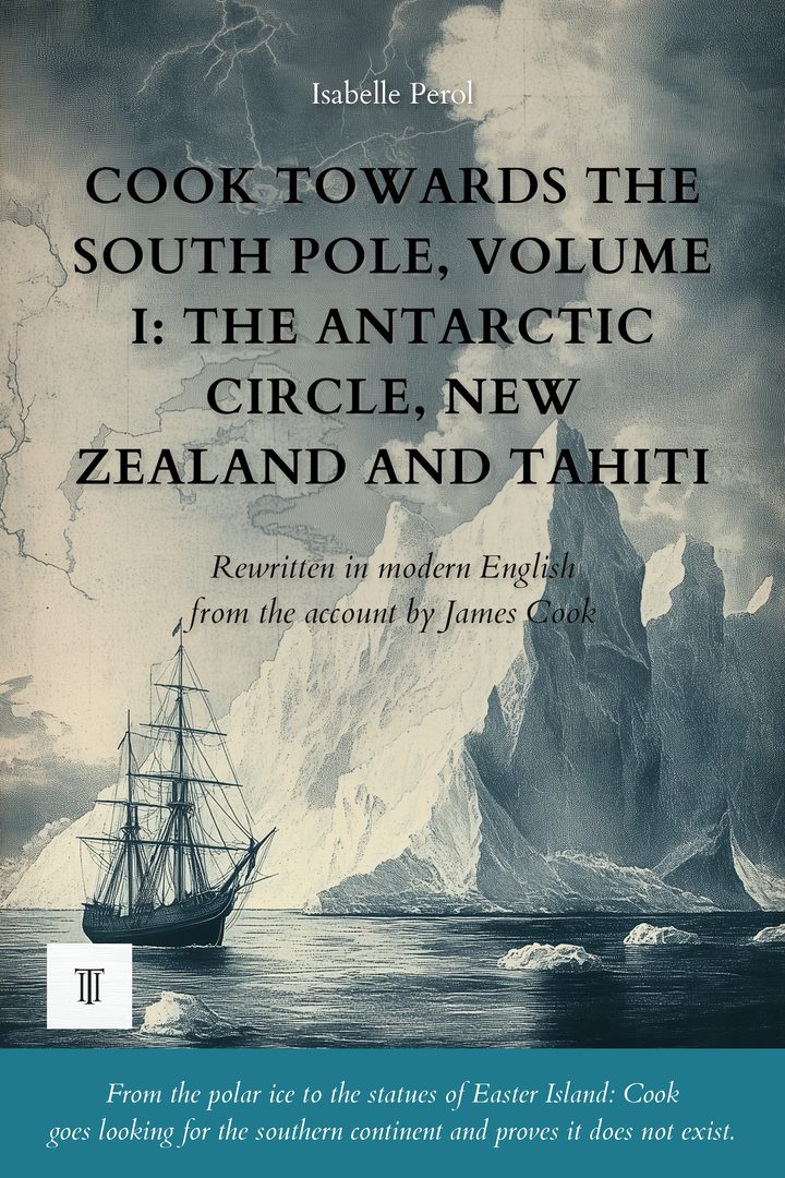
Cook Towards the South Pole, Volume I: The Antarctic Circle, New Zealand and Tahiti
316 pages - Modernized and illustrated English edition of “A Voyage Towards the South Pole and Round the World” (1772-1775), volume I, by James Cook.
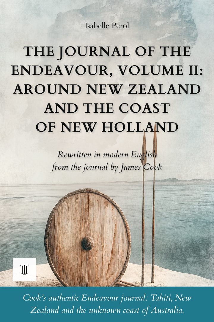
The Journal of the Endeavour, Volume II: Around New Zealand and the Coast of New Holland
236 pages - Modernized and illustrated English edition of “Captain Cook's Journal” (1768-1771), volume II, by James Cook.
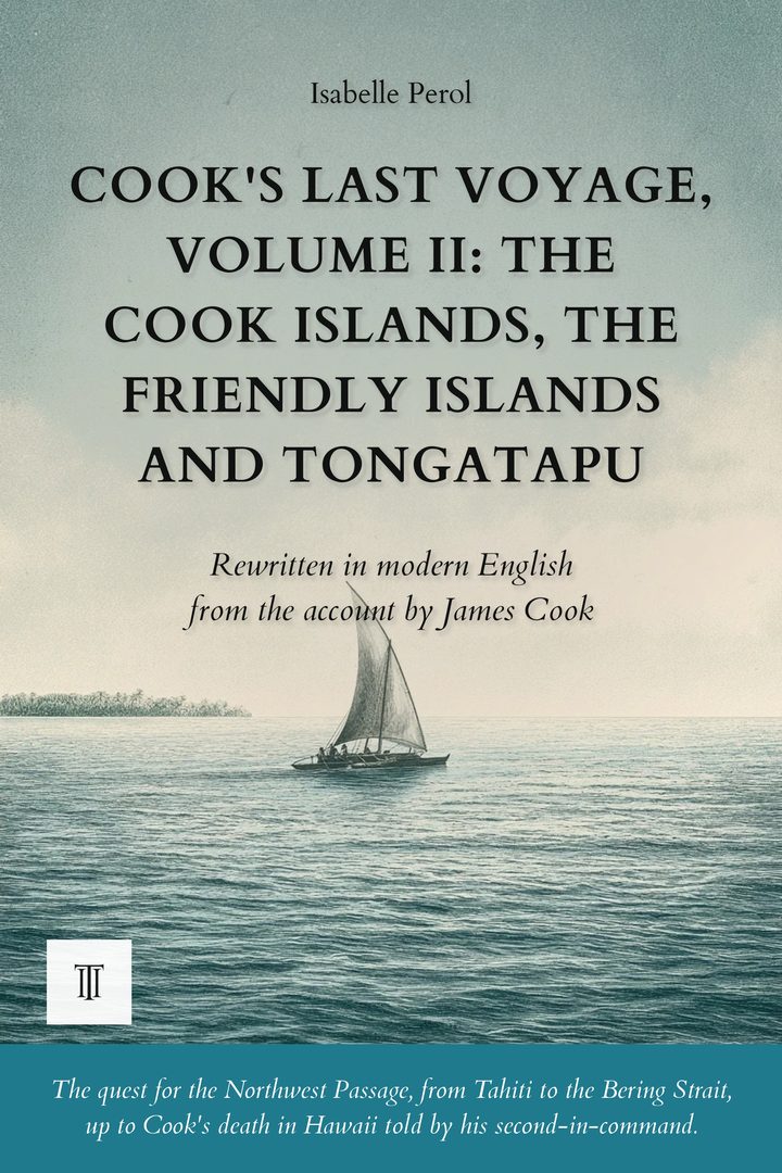
Cook's Last Voyage, Volume II: The Cook Islands, the Friendly Islands and Tongatapu
306 pages - Modernized and illustrated English edition of “A Voyage to the Pacific Ocean” (1776-1780), volume II, by James Cook.
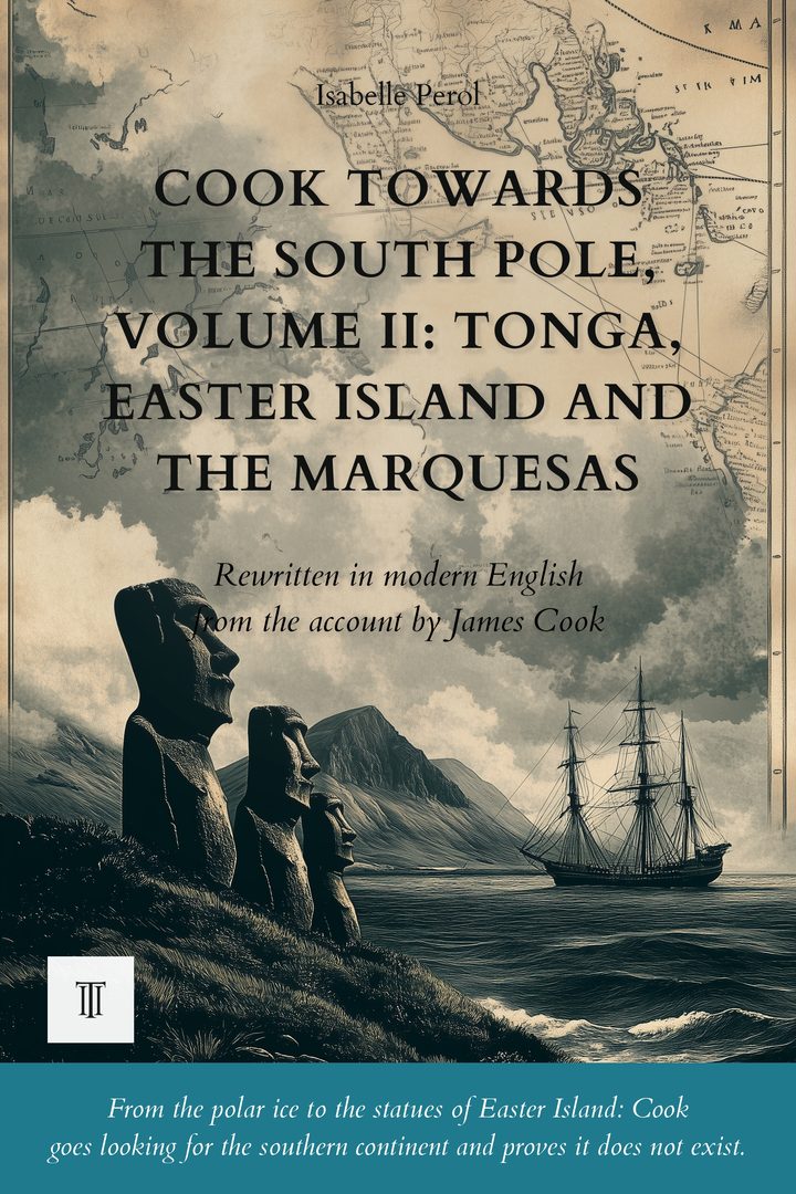
Cook Towards the South Pole, Volume II: Tonga, Easter Island and the Marquesas
316 pages - Modernized and illustrated English edition of “A Voyage Towards the South Pole and Round the World” (1772-1775), volume II, by James Cook.
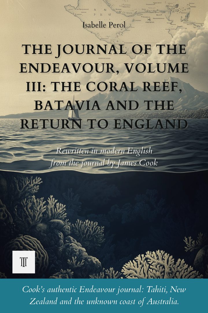
The Journal of the Endeavour, Volume III: The Coral Reef, Batavia and the Return to England
248 pages - Modernized and illustrated English edition of “Captain Cook's Journal” (1768-1771), volume III, by James Cook.
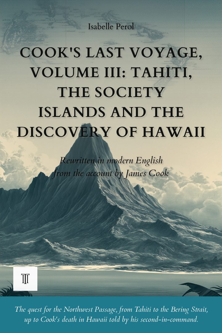
Cook's Last Voyage, Volume III: Tahiti, the Society Islands, and the Discovery of Hawaii
362 pages - Modernized and illustrated English edition of “A Voyage to the Pacific Ocean” (1776-1780), volume III, by James Cook.
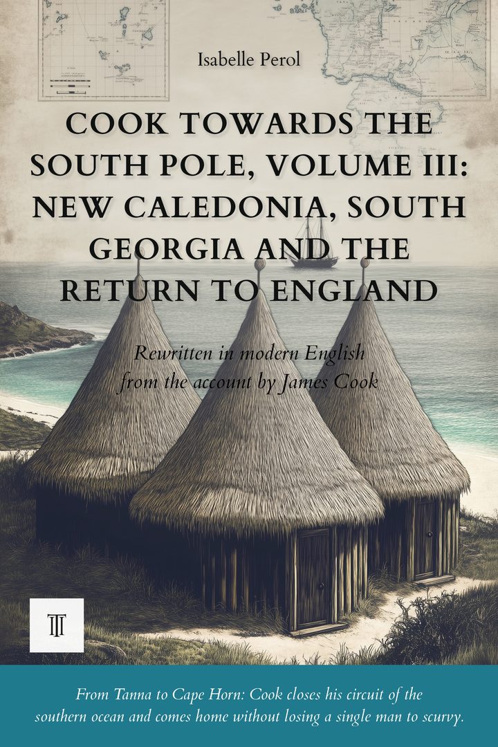
Cook Towards the South Pole, Volume III: New Caledonia, South Georgia and the Return to England
382 pages - Modernized and illustrated English edition of “A Voyage Towards the South Pole and Round the World” (1772-1775), volume III, by James Cook.
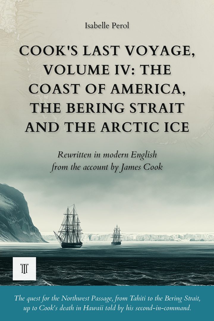
Cook's Last Voyage, Volume IV: The Coast of America, the Bering Strait and the Arctic Ice
396 pages - Modernized and illustrated English edition of “A Voyage to the Pacific Ocean” (1776-1780), volume IV, by James Cook.