 Oceania & Pacific · Modernised and illustrated edition
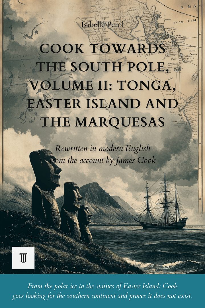
Cook Towards the South Pole, Volume II: Tonga, Easter Island and the Marquesas
Modernized, illustrated English edition of A Voyage Towards the South Pole and Round the World by James Cook (1772-1775). 316 pages.
After reaching the southernmost point ever attained, Cook lands among the statues of Easter Island, returns to the Marquesas, witnesses Otoo's naval review at Tahiti, then pushes on as far as the New Hebrides.
Read more ↓- 316 pages
- Paperback · Kindle
- English
- 18th century
About this book
September 1773. The Resolution leaves the warm lagoons of the Society Islands and sets a course south, alone, in search of a continent that all of Europe believes lies crouched at the end of the world.
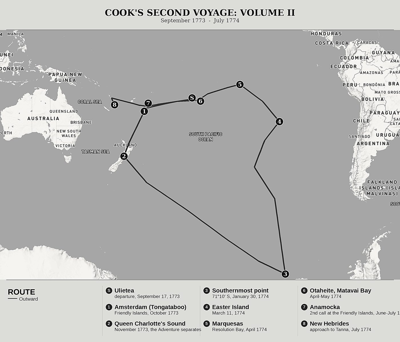
At the Friendly Islands, impassive chiefs receive Cook with great ceremony; in New Zealand, a severed head on the deck reveals to him the cannibalism he had refused to believe. Then the ship pushes deeper into the ice: the ice islands close in, the field ice bars the horizon, and on 30 January 1774 the navigator reaches the southernmost point ever attained by a man, 71 degrees 10 minutes south. Beyond it, there is nothing: the great southern continent does not exist.
Having sailed back toward the sun, Cook lands among the stone giants of Easter Island, returns to the Marquesas discovered two centuries earlier by Mendana, watches the review of a Tahitian war fleet of more than three hundred canoes led by admiral Towha, bids farewell to King Otoo and to the Society Islands, then pushes on to the New Hebrides, on the threshold of a land still unknown to Europeans.
This second volume covers the heart of the voyage: Books II and III of Cook's original account, from September 1773 to July 1774. This is where the voyage's double conquest is decided, the polar record that ruins two thousand years of speculation about a populated southern continent, and the densest encounter with the peoples of the Pacific, from the Friendly Islands to the New Hebrides by way of Easter Island and the Marquesas. Faced with Maori cannibalism, Cook moves from horrified disbelief to direct experience, having a piece of flesh roasted on his quarterdeck to settle the matter once and for all, a gesture that says as much about his century as about what he observes.
The second volume of the trilogy devoted to Cook's second voyage (1772-1775), part of the Forgotten Travel Journals collection, Oceania & Pacific series, this book continues the route of the previous volume, from the Society Islands to the New Hebrides; the following volume will close out the crossing of the southern Pacific up to the return to England.
The first complete modern rewriting for today's reader, making this account readable without betraying anything of the voyage. Twenty original illustrations and ten redrawn maps bring the route to life, while a set of reference tools (glossary, timeline, index, further reading, editor's note, afterword) and selected passages from the original text accompany the reading.
Product details
- Publisher
- Itinerarium Éditions
- Series
- Oceania & Pacific
- The author
- James Cook
- Date of the journey
- 1772-1775
- Modern edition by
- Isabelle Perol
- Language
- English
- Format
- Paperback, 6 × 9 in (15.2 × 22.9 cm)
- Pages
- 316
- ISBN
- 978-2-489331-07-3
- Published
- August 2026
The author
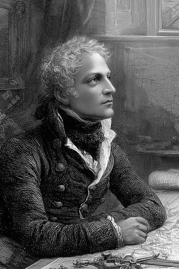
James Cook
An officer of the British Royal Navy, James Cook (1728-1779) commanded the Resolution during his second great voyage around the world, from 1772 to 1775. The son of a Yorkshire day-labourer who became the finest navigator of his age through his work as a cartographer during the Seven Years' War, he was charged by the Admiralty and the Royal Society with settling, once and for all, the question of the southern continent. On 30 January 1774, he reached 71 degrees 10 minutes of south latitude, the southernmost point ever attained by a ship, ruining two thousand years of learned speculation about a populated and fertile southern land. His personal account, written day by day, precedes a third voyage that would make him the greatest explorer of his century.
All books by James Cook →A Voyage Towards the South Pole and Round the World: Our editorial work
This volume is the second in a series that follows, volume after volume, James Cook's second voyage around the world. It covers Book II and the first four chapters of Book III of the original account, that is the great Pacific loop of the second season: the Friendly Islands, the return to New Zealand, the solitary plunge into the southern ice, Easter Island, the Marquesas, Tahiti and the Society Islands, and finally the entry into the New Hebrides. The narrative deliberately stops after the arrival at Tanna, the first exchanges and the first landing; it is the stay and the exploration of the island that will open Volume III. This break is not Cook's own: it is an editorial choice, one that prefers to suspend the voyage on a land glimpsed rather than cut it off in the middle of an archipelago.
Before / after
I, who had ambition not only to go farther than any one had been before, but as far as it was possible for man to go, was not sorry at meeting with this interruption, as it in some measure relieved us, at least shortened the dangers and hardships inseparable from the navigation of the southern polar regions. Since, therefore, we could not proceed one inch farther to the south, no other reason need be assigned for my tacking and standing back to the north; being at this time in the latitude of 71 deg. 10' S., longitude 106 deg. 54' W.
I had the ambition to go farther than any man before me, and as far as it is given to man to go. And so I was not sorry to meet with this obstacle, which relieved us somewhat, or at least shortened the dangers and hardships inseparable from navigating the southern polar regions. Since we could no longer gain an inch to the south, there is no other reason to give for my tacking to resume the course north. We were then in seventy-one degrees ten minutes of south latitude, one hundred and six degrees fifty-four minutes of west longitude. This turn to the north was nothing of a retreat: it opened a design I had long carried.
The journey mapped
The modern editor

More in this series
See all →