 The Old Orient · Modernised and illustrated edition
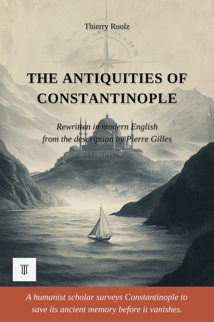
The Antiquities of Constantinople
Modernized, illustrated English edition of The Antiquities of Constantinople (De topographia Constantinopoleos) by Pierre Gilles (1544-1547). 320 pages.
In 1544, the humanist Pierre Gilles surveys Constantinople for Francis I and records, hill by hill, what remains of the Byzantine city. The last methodical description of the city before its Ottoman transformation.
Read more ↓- 320 pages
- Paperback · Ebook (EPUB)
- English
- 16th century
About this book
Constantinople, 1544. Ninety-one years after its fall to the Ottomans in 1453, the city is being transformed: churches become mosques, the Hippodrome empties, ancient columns are toppled or buried under new construction, and the memory of Byzantium fades a little more with each passing year.
Into this changing city comes Pierre Gilles, a scholar and naturalist from Albi, sent east by Francis I to collect Greek manuscripts for the royal library. When the royal funds stop arriving, he enlists for a time in the army of Suleiman the Magnificent simply to survive, all the while devoting himself to a mission of his own choosing: saving Constantinople from oblivion before the last visible traces of the Byzantine capital disappear beneath the growing Ottoman city.
He climbs the city walls, measures its towers and columns pace by pace, digs through ruins overgrown with weeds, and questions Ottoman gardeners about the marble fragments and bronze relics they have turned up while digging their beds. Hill by hill, he reconstructs the topography of the Seven Hills: Hagia Sophia and its dome, the Sacred Palace and the Chalke gate, the Hippodrome where the factions once cheered, the forums of Constantine and Theodosius, the Augusteon, the Column of Porphyry, and the Byzantine districts stretching from the Golden Horn to the land walls, holding, page after page, a silent dialogue with the emperors who built them and are now gone.
The result is unique: the last scientific description of Byzantine Constantinople, compiled just before the disappearance of what little of Byzantium remained standing. Without Gilles's patient survey, entire sections of the city's ancient topography, the location of the Church of the Holy Apostles and the tomb of Constantine among them, would have been lost forever, swallowed by later building and by the passage of time.
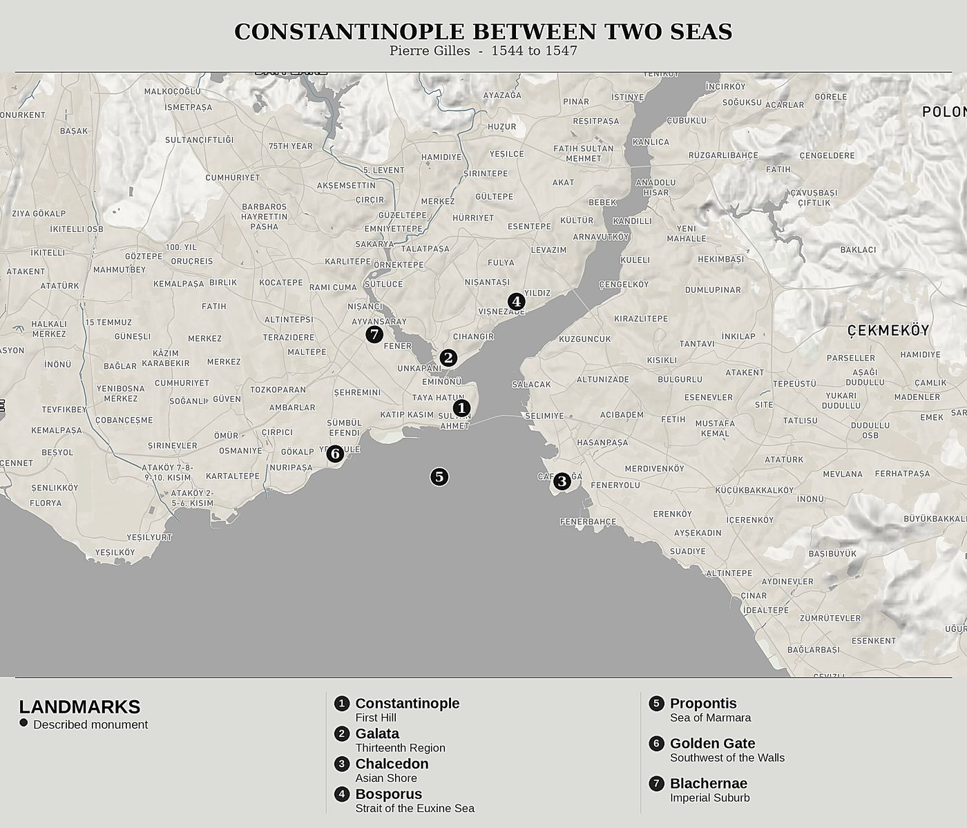
Published in Lyon in 1561, six years after Gilles's death, by his nephew Antoine, this Latin text, "De topographia Constantinopoleos et de illius antiquitatibus libri quatuor", had never before been rendered into modern English directly from the original. The only earlier English version was the free and heavily periphrastic translation published by John Ball in London in 1729, itself an intermediary reading of Gilles's Latin. The present edition returns to the 1561 princeps, newly transcribed from the copy held by the Getty Research Institute, and offers the first complete modern-English rewriting of the four books devoted to Constantinople proper. The text is modernized and reorganized into eighteen readable chapters, the voice of the humanist surveyor left intact throughout. It is illustrated with fifteen engravings, accompanied by six original maps tracing the Seven Hills, the central quarters, the Golden Horn, and the forums along the Mese, and rounded out with a glossary of ancient, Byzantine, and Ottoman terms, a detailed chronology, and a double index of characters and places.
Product details
- Publisher
- Itinerarium Éditions
- Series
- The Old Orient
- The author
- Pierre Gilles
- Date of the journey
- 1544-1547
- Modern edition by
- Thierry Ruolz
- Language
- English
- Format
- Paperback, 6 × 9 in (15.2 × 22.9 cm)
- Pages
- 320
- ISBN
- 978-2-489330-08-3
- Published
- June 2026
The author
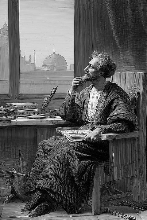
Pierre Gilles
Pierre Gilles (1490-1555), a scholar and naturalist born in Albi, was one of the great figures of French humanism. A Hellenist and Latinist, he was sent by Francis I to the East to purchase Greek manuscripts for the royal library. From 1544 to 1547, he lived in Constantinople, where, lacking royal funds, he enlisted for a time in the army of Suleiman the Magnificent. There he surveyed the ancient city, measured its monuments, and reconstructed its vanished topography. He died in Rome in 1555, leaving a Latin description of Constantinople that his nephew Antoine published in Lyon in 1561, the first methodical survey of the Byzantine city.
All books by Pierre Gilles →De topographia Constantinopoleos: Our editorial work
This edition is drawn from the original Latin text of Pierre Gilles, the De topographia Constantinopoleos et de illius antiquitatibus libri quatuor, published posthumously in Lyon in 1561 by Guillaume Rouille. The princeps edition, a Latin folio, constitutes the first methodical topographical survey of Constantinople. The text was digitized from the copy held by the library of the Getty Research Institute (Los Angeles), whose scanned pages and OCR are available on Internet Archive. It is this OCR version of the 1561 Latin, cleaned and corrected, that served as the source for the modernized French edition, of which the present volume is the English translation.
Before the modernized French edition on which this volume rests, Gilles's book had never been translated or published in French. The only translation into a modern language was John Ball's, published in London in 1729 in Georgian English. Ball translated Rouille's Latin faithfully, but into a heavily wrought eighteenth-century English, with long periods and multiple subordinate clauses. His translation, valuable as it is as an early witness, introduced an additional degree of interpretation. Our work began from the Latin of 1561 itself, which was modernized into French; the present volume is the English edition of that modernized text. Ball's translation served neither as source nor as intermediary, and the reader is thus brought back as closely as possible to Gilles's prose.
Before / after
CONSTANTINOPOLIS campum peninsularem ita est, vt totum Isthmum occupet peninsulanum : ex tribus enim partibus mari alluitur, neque solum ex sese munita est, sed etiam suos suburbanos longos agros iter duorum dierum latos amplius viginti miliaria munitos habet peninsula, quam efficiunt pontus, Bosporus, Propontis, olim ab Anastasio muro clausam, ita vt, situs vrbis duplici peninsula munitus, arcem se declaret totius Europae, atque adeo principatum totius orbis prae se ferat, eminens in fauces Europae, atque Asiae…
Constantinople occupies the entire isthmus of a peninsula, and the sea bathes it on three of its sides. Its strength lies not only in its walls: its suburbs and its fields extend over a width of more than twenty miles, and the peninsula itself protects that whole expanse. The Euxine Sea, the Bosporus, and the Propontis encircle it with their waters; on the Thracian side, the Wall of Anastasius closes it as one draws a bolt. Guarded twice over, by its position and by this rampart, it offers itself to the eye as the citadel of all Europe, and one would say it lays claim to the whole world.
The journey mapped
The modern editor